 tripvenir
Your travel photos,
filling your map.
Tap a place you've been and pick one photo — it fills that place in its real shape. Every place you add builds a map that's yours.
- 50 countries
- Down to cities & districts
- 9 languages
How it works
Instead of colouring a map in, you give every place you've been one photo you took there.
-
1
Tap a place you've been
A country, a province, a city
-
2
Pick one photo
Move it to frame the shot
-
3
It fills the whole shape
Together they make your map
Not coloured in. Filled with photos.
Other travel map apps paint the places you've been. tripvenir fills each one with a photo you took there.


Not just countries — down to the town
South Korea's cities and districts, French départements, Italian provinces: the real borders of 50 countries.


One tone. One piece.
Photos from different phones, weather and hours clash when you put them side by side. tripvenir lays one tone over all of them, so the whole map reads as one piece. Your originals stay as they are.

 As taken
Film tone
As taken
Film tone
Your trips, as one image to share.
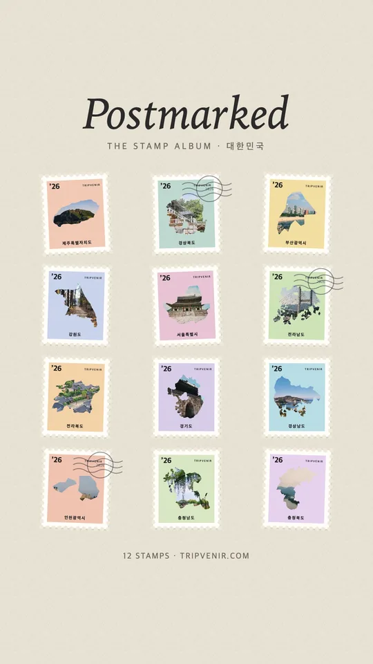
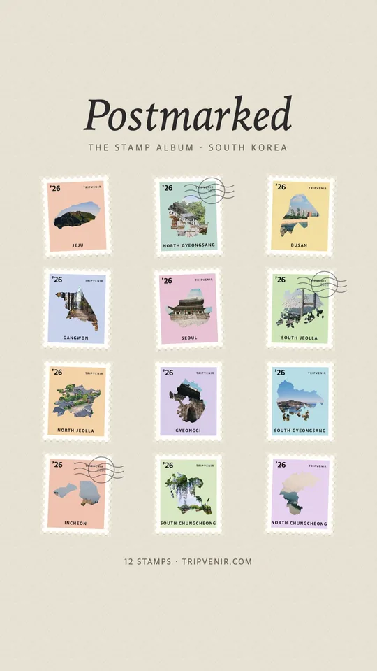
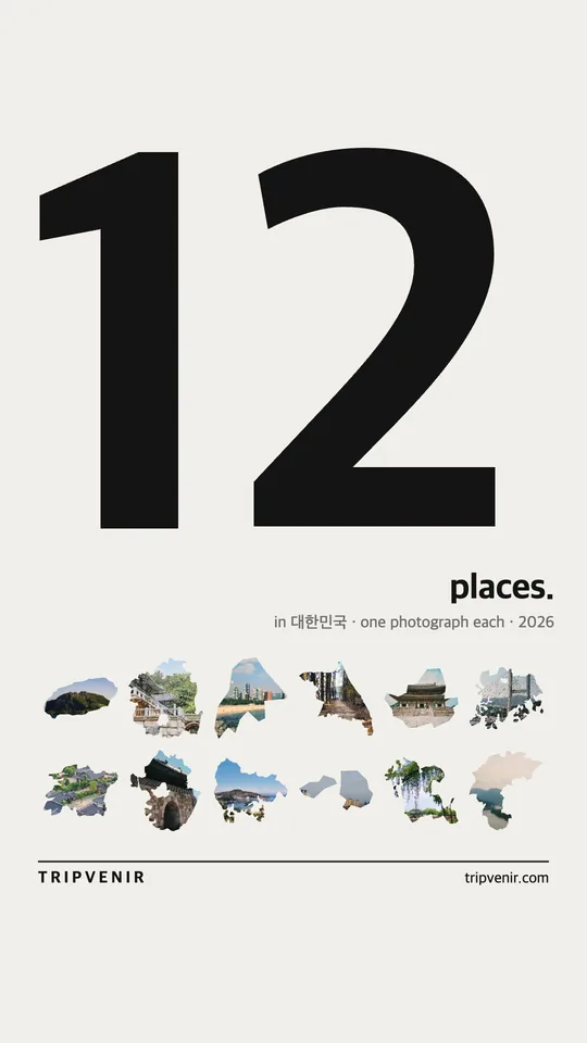
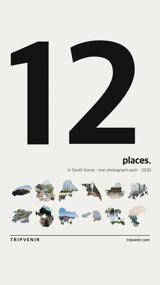
Your map becomes a story or a post as it is, or a collection, a stamp album, a receipt or your year in travel. All made right in the app.
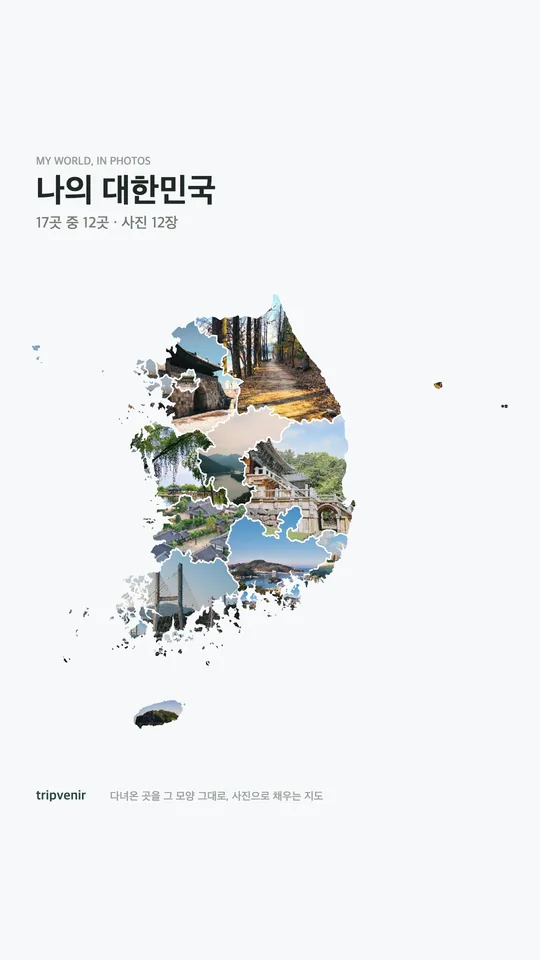
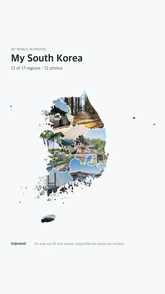
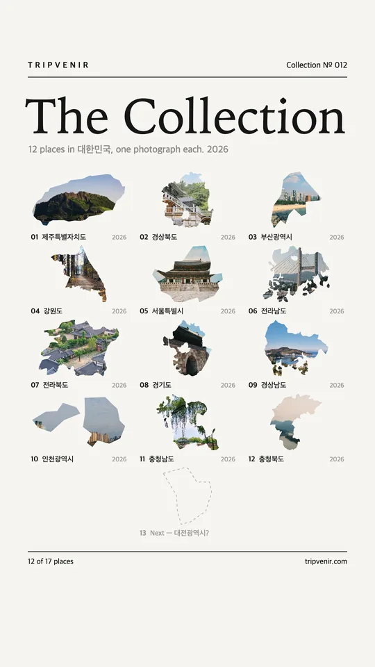
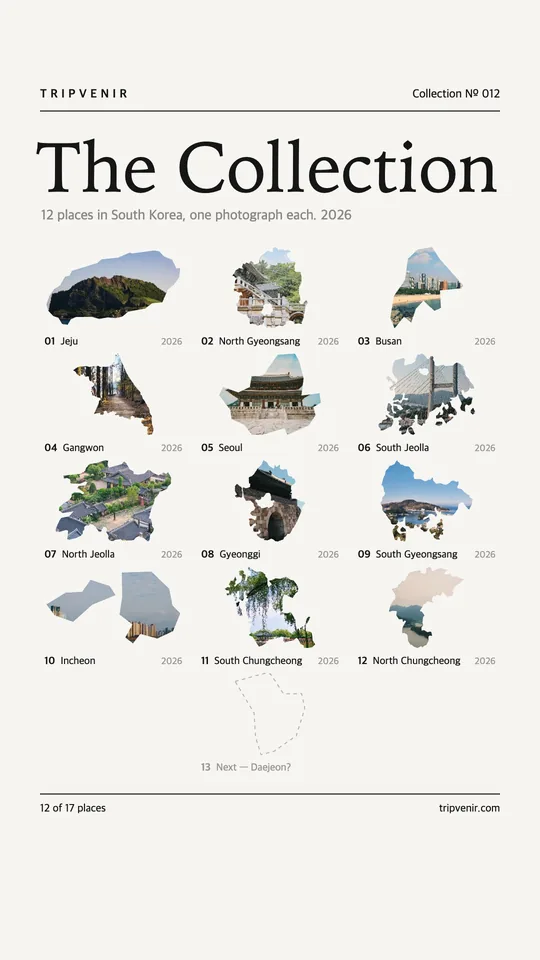
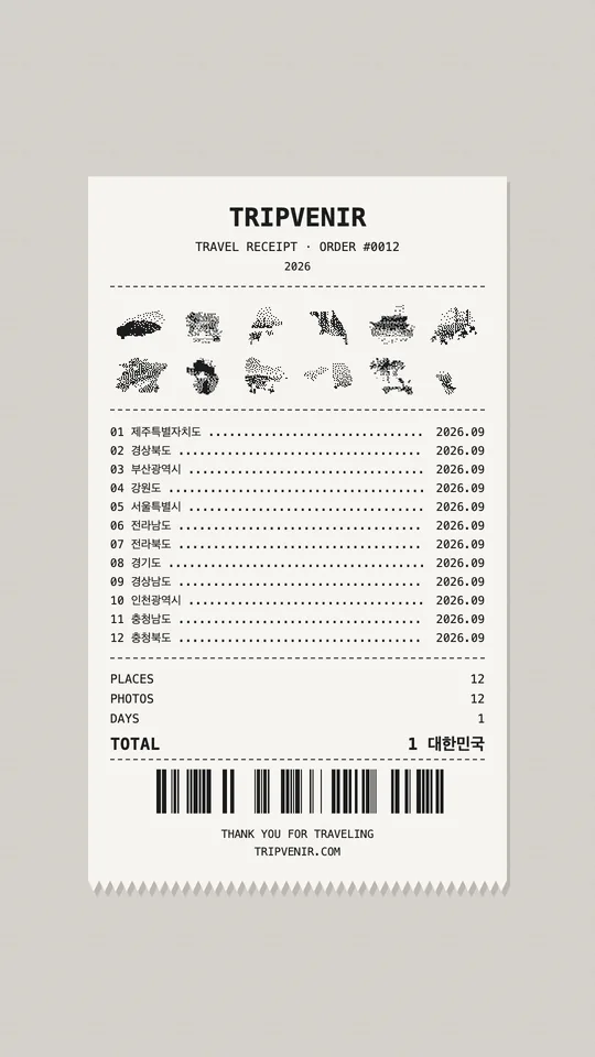
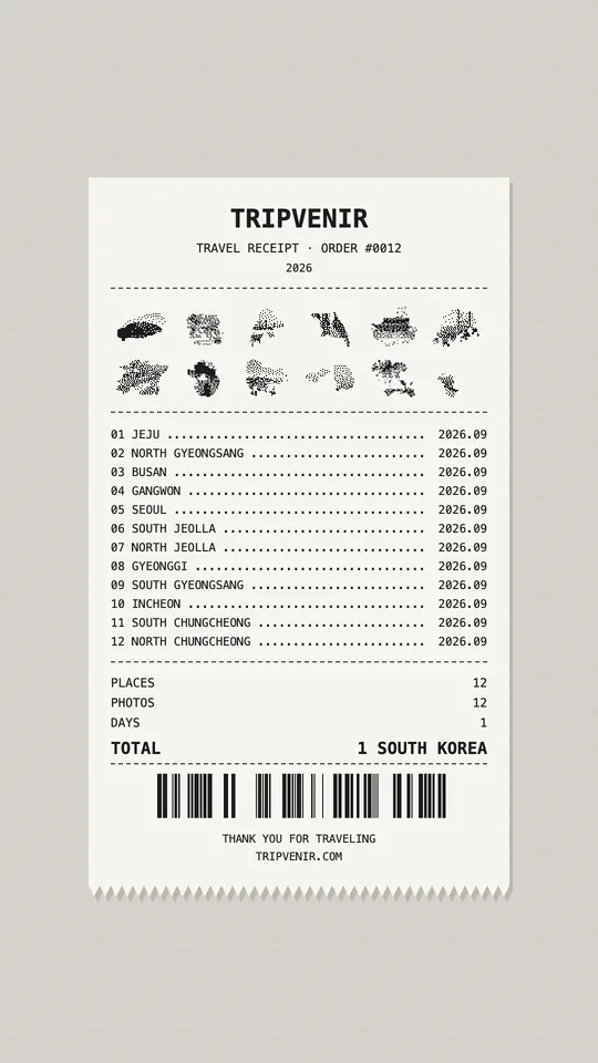
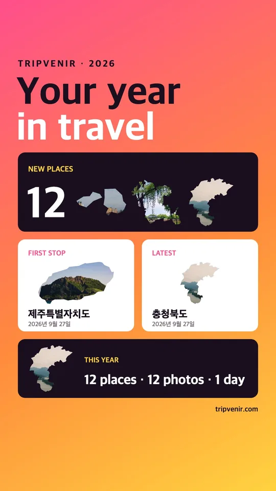
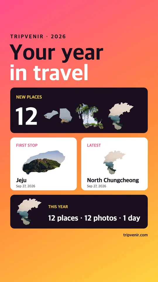
50 countries, 9 languages
Asia, Europe, the Americas and Oceania. Search places in their own language, too.
대한민국· 日本· 中国· 香港· 澳門· 臺灣· Việt Nam· ประเทศไทย· Pilipinas· Singapura· Malaysia· Indonesia· កម្ពុជា· ລາວ· Монгол· भारत· Maldives· Australia· Aotearoa· Guåhan· Marianas· United States· Canada· México· Brasil· Argentina· United Kingdom· France· España· Portugal· Italia· Deutschland· Україна· Polska· Schweiz· Österreich· Česko· Magyarország· Hrvatska· Ελλάδα· Türkiye· Nederland· België· Danmark· Norge· Sverige· Suomi· Slovenija· الإمارات· مصر
Coming soon to the App Store.
One photo for every place you've been. Start a map of your own.
Coming to the App Store